Convert coordinates into a data frame of origins and destinations
Source:R/points_to_od.R
coords_to_od.RdTakes geographic coordinates and converts them into a data frame representing the potential flows, or 'spatial interaction', between every combination of points.
coords_to_od(p, interzone_only = FALSE, ids_only = FALSE)Arguments
- p
A spatial points object or a matrix of coordinates representing points
- interzone_only
Should the result only include interzonal OD pairs, in which the ID of the origin is different from the ID of the destination zone?
FALSEby default- ids_only
Should a data frame with only 2 columns (origin and destination IDs) be returned? The default is
FALSE, meaning the result should also contain the coordinates of the start and end points of each OD pair.
Value
A data frame object with O and D codes and origin and destination coordinates.
Examples
p = sf::st_coordinates(od_data_centroids[1:3, ])
od = points_to_od(p)
(od = coords_to_od(p, interzone_only = TRUE))
#>   O D        ox       oy        dx       dy
#> 2 1 2 -1.609934 53.79079 -1.624630 53.88605
#> 3 1 3 -1.609934 53.79079 -1.518058 53.84066
#> 4 2 1 -1.624630 53.88605 -1.609934 53.79079
#> 6 2 3 -1.624630 53.88605 -1.518058 53.84066
#> 7 3 1 -1.518058 53.84066 -1.609934 53.79079
#> 8 3 2 -1.518058 53.84066 -1.624630 53.88605
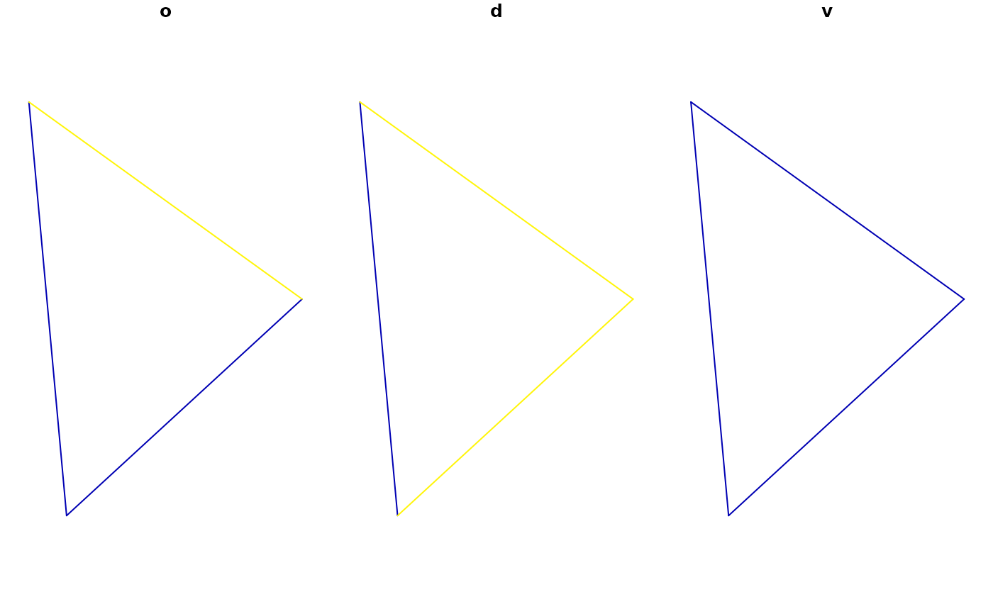
l = odc_to_sf(od[3:6], d = od[1:2])
l$v = 1
(l_oneway = od_oneway(l))
#> Simple feature collection with 3 features and 3 fields
#> Attribute-geometry relationships: aggregate (1), NA's (2)
#> Geometry type: LINESTRING
#> Dimension:     XY
#> Bounding box:  xmin: -1.62463 ymin: 53.79079 xmax: -1.518058 ymax: 53.88605
#> Geodetic CRS:  WGS 84
#>   O D v                       geometry
#> 1 1 2 2 LINESTRING (-1.609934 53.79...
#> 2 1 3 2 LINESTRING (-1.609934 53.79...
#> 3 2 3 2 LINESTRING (-1.62463 53.886...
plot(l_oneway)
