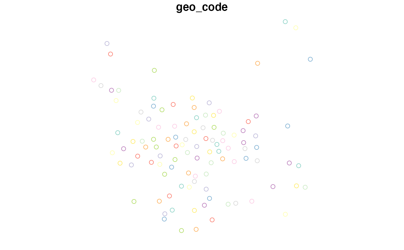
Centroids of administrative (MSOA) zones in Leeds, UK
centroids_leeds.RdThis dataset contains population-weighted centroids in administrative (MSOA) zones in Leeds, UK
centroids_leeds
Format
A spatial (sf) data frame with 107 rows and 1 variable:
geo_codecharacter geo_code of the unique zones
Examples
centroids_leeds#> Error: Input must be a vector, not a `sfc_POINT/sfc` object.#> [1] 107 2#>
