Format convert STATS19 data into spatial (sf) object
format_sf.RdFormat convert STATS19 data into spatial (sf) object
format_sf(x, lonlat = FALSE)
Arguments
| x | Data frame created with |
|---|---|
| lonlat | Should the results be returned in longitude/latitude?
By default |
Examples
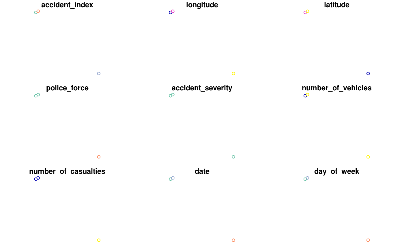
x_sf = format_sf(accidents_sample)#>#> Warning: plotting the first 9 out of 30 attributes; use max.plot = 30 to plot all
